
Vacant Land Services
Drone coverage for land listings: the parcel from several angles, the boundary drawn on, and what is nearby.
Drone coverage for land
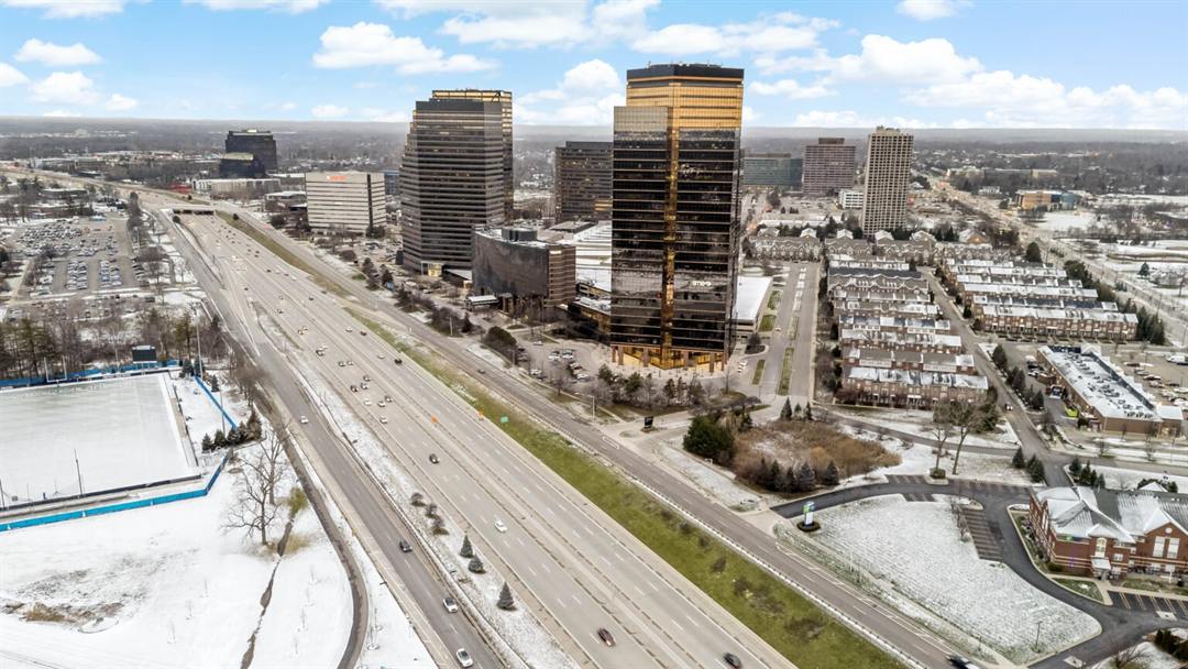
A vacant lot has no rooms to photograph, so the aerial photos carry the listing. We fly the parcel from the angles that show its shape, grade, tree cover, road frontage and access.
All of our drone pilots hold an FAA Part 107 license.
- Full parcel coverage from multiple angles
- Road frontage and access points
- Grade, tree cover and clearings
- Delivered on the same 24-hour turnaround
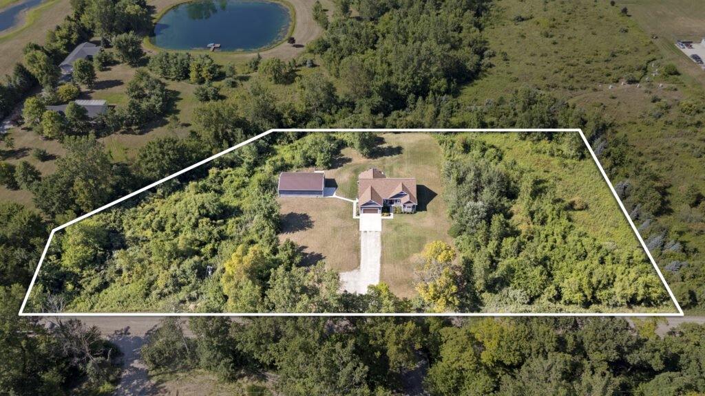
Show exactly what is for sale
We draw the property boundary on the aerial photo, so buyers can see what is included without reading a plat. It also cuts down the calls that start with “does it include…”.
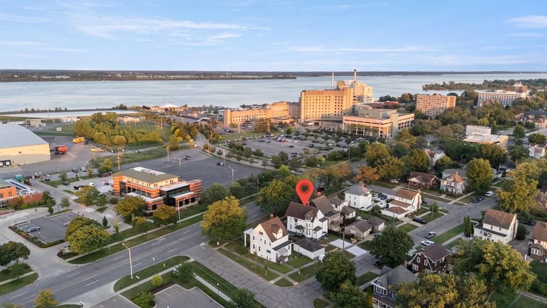
What is nearby
A local amenity spotlight shows the parcel with what surrounds it: the lake, the highway, the town, the schools, the development next door.
What agents say
“If I could, I would have given them 10 stars.”
Agents we shoot for work at
Frequently asked questions
What is included in a vacant land drone package?
Aerial coverage of the parcel from multiple angles, showing shape, grade, tree cover, road frontage and access. Property boundary outlines and local amenity spotlights can be added.
Can you show the property boundaries?
Yes, we draw the lot lines on the aerial photos.
Are your drone pilots licensed?
Yes. Every photographer on our team holds an FAA Part 107 drone license.
Do you cover my area?
We serve 76 cities across Wayne, Oakland, Macomb, Washtenaw, Livingston, Monroe, St. Clair, Lenawee and Jackson counties, with next-day availability in most cases.